Nanaimo & surroundings · An area guide
North Jingle Pot
The city begins to open out.
North Jingle Pot sits towards Nanaimo’s northern foothills, where residential development meets a more open landscape. Rural properties and newer homes contribute to its varied character. The attraction is often a sense of space, with the city still part of the daily picture.

01 · Beyond the front door
Living in North Jingle Pot
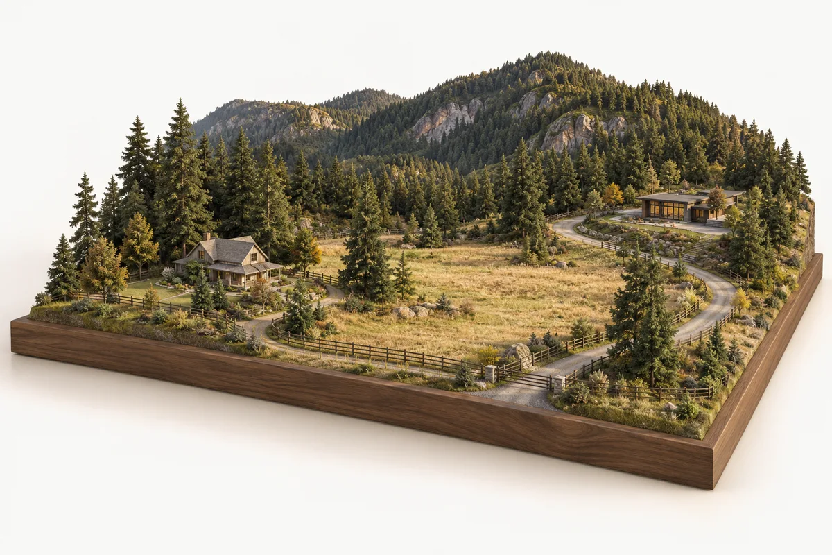
North Jingle Pot sits in Nanaimo’s foothills below Mount Benson. Acreages, older farm properties and residential subdivisions offer several ways to live with more open space while retaining city connections.
An area guide from Gillette & Associates, Derek Gillette’s Nanaimo real estate practice.
01Acreages and residential pockets
Jingle Pot has a wide range of homes, from farmhouses and equestrian properties to newer subdivisions. The same neighbourhood label can cover very different ownership commitments. Start by deciding whether you want land to manage or simply a home beside a more open landscape.
On a larger property, walk beyond the house. The condition of outbuildings, the driveway, drainage and usable outdoor areas can change how the property works for you. Ask which services reach the lot and what maintenance belongs to the owner.
02The foothills and city access
Mount Benson is a defining backdrop, with roads connecting the valley to Nanaimo’s north end and the wider city. The useful comparison is the actual route from each home, including access in poor weather and the trips you make most often.
South Jingle Pot offers a related setting with a different connection to the University District and Westwood Lake area. Tour both before treating Jingle Pot as one uniform market. Existing suites, where present, need their own verification rather than an assumption based on the area’s housing style.
A closer look · Local map data
Around the neighbourhood
A few places to explore around North Jingle Pot. Distances are approximate straight lines from our reference point on Monterey Dr; walking and driving routes will be longer.
Parks & outdoors
- Rock Ridge ParkPark≈ 50 m
- Mollys Marsh ParkPond≈ 150 m
- Jingle Pot trailTrail≈ 350 m
- Jingle Pot ParkPark≈ 400 m
More nearby places
- Delia ParkPark≈ 400 m
- Crystal Brook ParkPark≈ 550 m
- Elmwood ParkPark≈ 600 m
- Tamara ParkTrail≈ 650 m
- Camcrest ParkPark≈ 700 m
- Horth ParkPark≈ 750 m
- Sheffield to Jasmine TrailTrail≈ 850 m
- Biggs Road ParkPark≈ 900 m
Schools nearby
- Mount Benson ElementaryElementary≈ 1.3 km
- Island Connected K-12Elementary≈ 1.3 km
- Syuẁén'ct Elementary SchoolElementary≈ 2.2 km
- Uplands Park ElementaryElementary≈ 2.7 km
More nearby places
- Wellington SecondarySecondary≈ 2.8 km
- Randerson Ridge ElementaryElementary≈ 3.0 km
- Pleasant Valley ElementaryElementary≈ 3.0 km
- Rock City ElementaryElementary≈ 3.3 km
- Rutherford ElementaryElementary≈ 3.9 km
Proximity does not establish a catchment or admission. Check a home’s school assignment with SD68 ↗
The everyday stops
- Smokin Georges BbqFood & drink≈ 1.1 km
- Long Lake Inn Hotel & Resort IncFood & drink≈ 1.5 km
- Papa John's PizzaFood & drink≈ 1.7 km
- Golden Inn Restaurant Co LtdFood & drink≈ 1.7 km
More nearby places
- Wellington Pub Beer & Wine Store LtdFood & drink≈ 1.8 km
- Mcdonalds Restaurants Of Canada LtdFood & drink≈ 1.8 km
- Saigon KitchenFood & drink≈ 1.8 km
- Central Drugs - Pacific StationEveryday services≈ 1.9 km
- Grand HotelFood & drink≈ 1.9 km
- Tim HortonsCoffee≈ 2.0 km
- Mod PizzaFood & drink≈ 2.3 km
- Mary's Mexican ShopGroceries≈ 2.3 km
Changes around you
Permits & proposals
A sample of City files near the Monterey Dr reference point. Open a file for its current details and documents.
A file marked active can be under review or already issued. It does not confirm that construction has started.
All City applications ↗BP131524 · ACTIVE3510 Castle Rock Drive
Single / Two Family Alteration
Installation of solar panels on roof of house
- Submitted
- February 04, 2026
- Issued
- April 16, 2026
BP130457 · ACTIVE4042 Old Slope Place
Demolition Permit
Demolition of SFD and detached work shop, on septic system. Property is only serviced by water to be disconnected.
- Submitted
- November 05, 2024
- Issued
- December 23, 2024
BP130726 · ACTIVE3796/3794 Marjorie Way
Commercial / Multi / Industrial
New construction of a 3-storey Attached Duplex with secondary suites in each dwelling. Building Classification: BCBC 2024, Part 9 building (Group C) residential, sprinklered, combustible construction. Building area: Unit A (3796 Marjorie Way) is 125.90 m² and Unit B (3794 Marjorie Way) is 125.90 m², Total building area-251.80 m². Total GFA 504.57 m². Building A (3796 Marjorie Way)- 252.28 GFA Building B (3794 Marjorie Way)- 252.28 GFA
- Submitted
- March 07, 2025
- Issued
- September 04, 2025
Checked Oct 7, 2026 · Selected places and files around one reference point, not a complete neighbourhood inventory. Some source layers were unavailable or cached when collected.
Sources: City of Nanaimo and BC school data. Contains information licenced under the Open Government Licence – Nanaimo.
What to look for
The homes here
Acreages and substantial detached properties are part of the mix, alongside residential streets with a more conventional neighbourhood setting. Lot sizes alone do not explain that difference: the slope, trees and position of the house shape how the property lives.
When comparing a house with a townhouse or apartment, consider outdoor maintenance, parking and ownership responsibilities as well as the rooms.
02 · The local market
Every neighbourhood keeps its own time
A market has a pulse the way a movement has a beat, and it differs street by street. The numbers below are read straight from the MLS® record — counted, not estimated — and refreshed through the day.
LIVE — THE HANDS KEEP NANAIMO TIME · THE INSTRUMENTS READ THE MARKET
03 · Find your place
North Jingle Pot homes for sale
If North Jingle Pot feels like your kind of place, start with a closer look at the homes.
Gillette & Associates
Our featured homes
From the wider market
More homes on the MLS®
Active MLS® listings · Courtesy of VIREB members · Availability can change
Find your place in North Jingle Pot.
Explore all current listings and narrow the search to what matters to you.
Keep exploring